Wet Beaver Creek Mar 09
Off FR 618 between I-17 and Hwy 260`
1
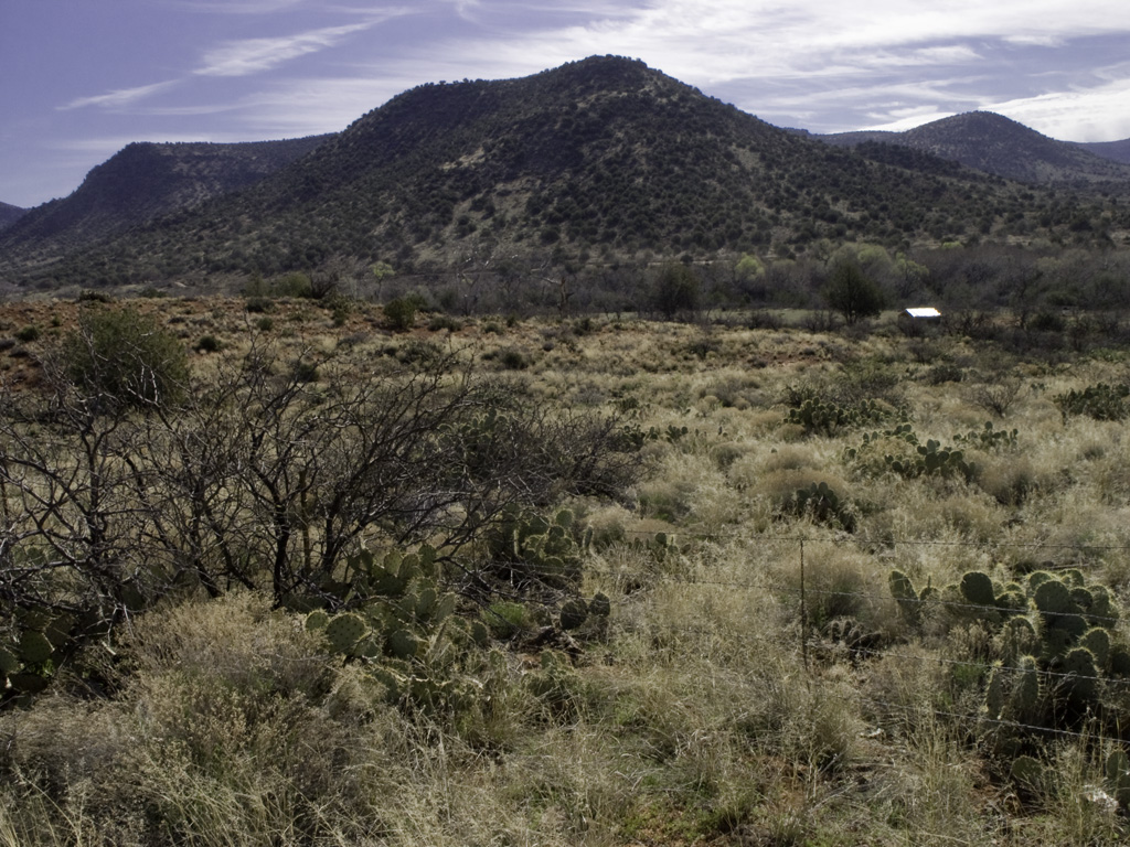
WET BEAVER CREEK
2
We start from the Hwy 179 trailhead east of I-17
3
4
Harry reties a shoe
5
The first stirrings of spring!
6
7
8
9
10
Sinagua petroglyphs
11
12
Snack break: this fruit tree is probably not native
13
...But who cares, because it's the first to flower
14
15
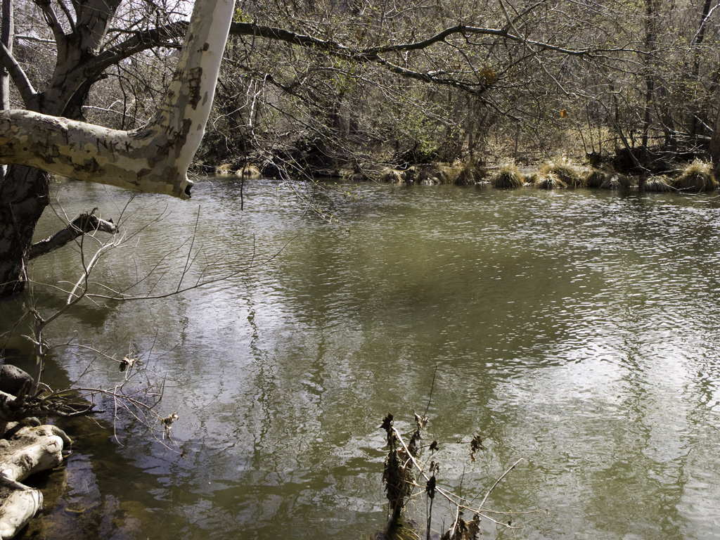
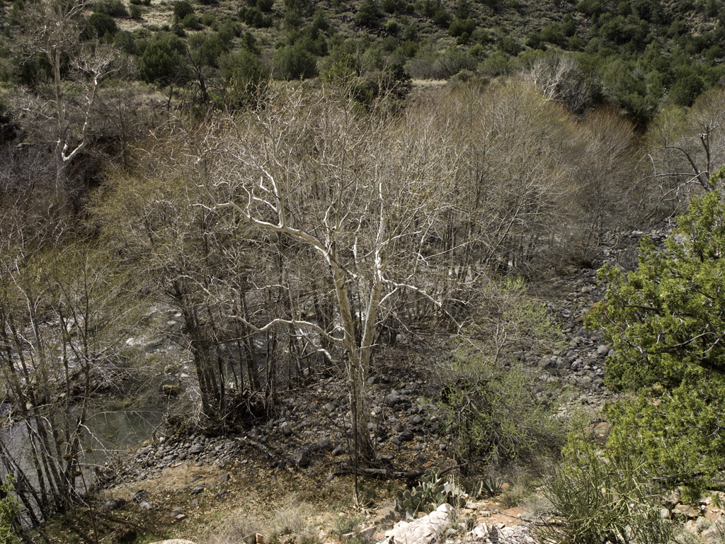
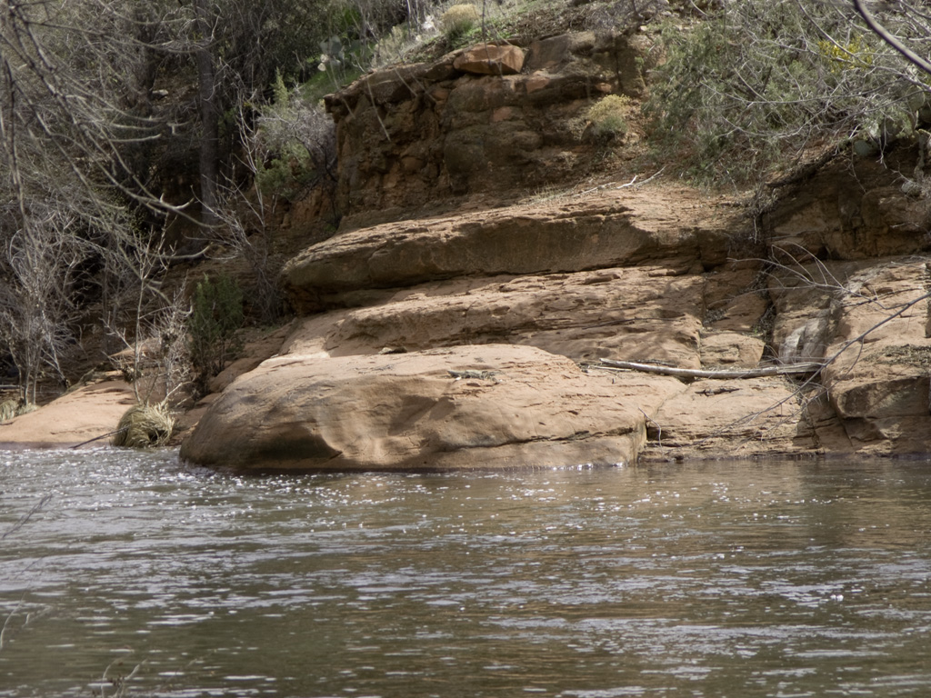
The creek is high with spring melt from Flagstaff
16
17
18
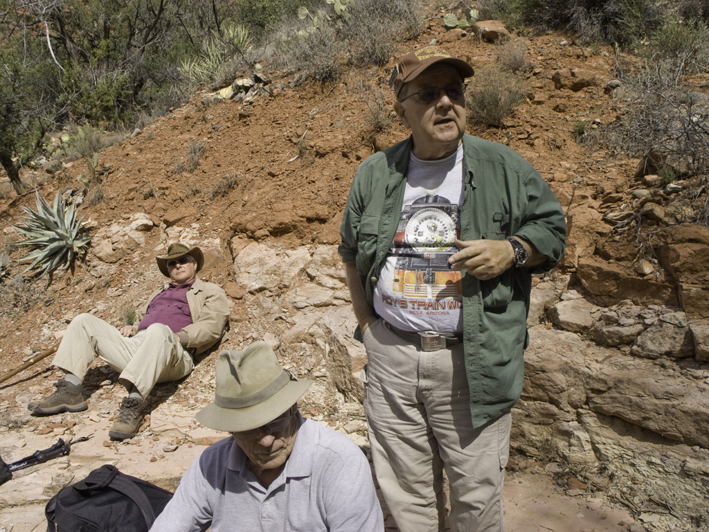
Dennis entertains one of our new guests
19
20
21
22
23
24
25
Weather is coming, but today it's still distant
26
27
28
This little side trail leads to a SInagua ruin
29
A collapsed wall
30
31
One small piece of standing wall
32
33
34
35
36
At this junction, trails fork to the weir and to the swimming hole
37
We take the weir path
38
39
40
41
42
We find a lunch spot by the gauge station
43
44
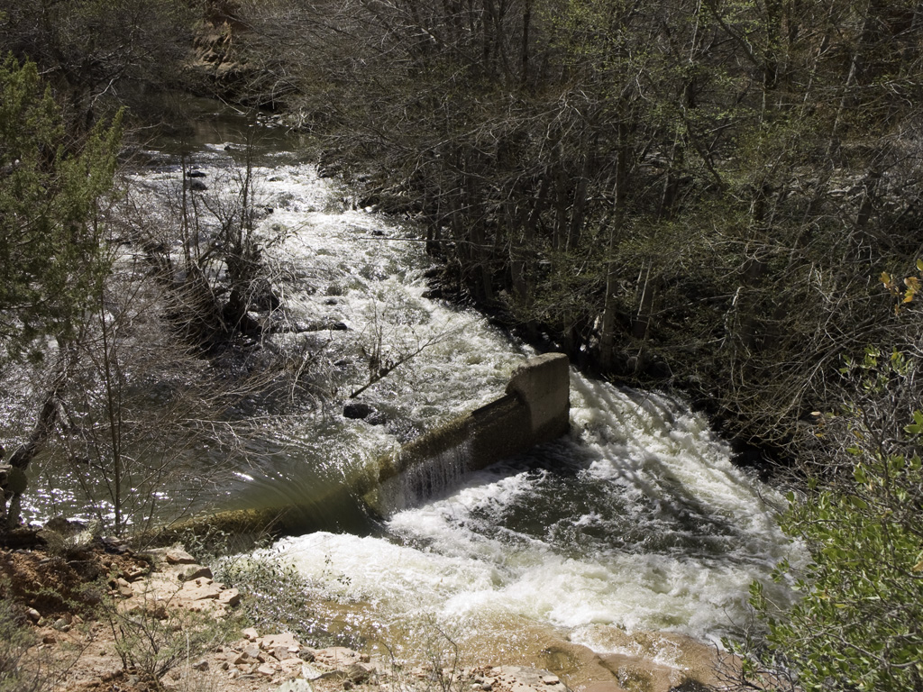
The old ranch dam, now abandoned
45
The gauging station monitors the water level, continually transmitting
46
47
48
49
The station is solar powered
50
51
52
53
54
55
56
57
58
59
This zipline allows engineers to check water depths across the creek
60
61
62
63
64
65
66
67
68
69
70
71
72
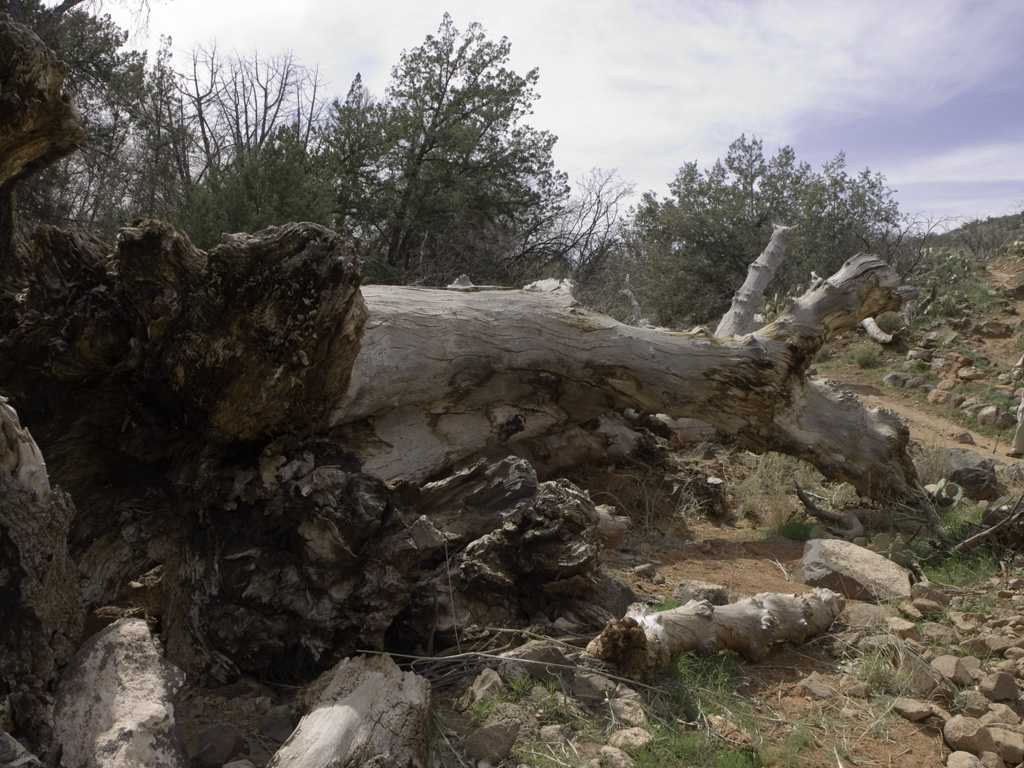
Moving out...
73
74
75
76
We take this side trail toward the boys' school
77
A spring meadow
78
79
We pause for another view of the creek near the school
80
81
82
83
84
Back to the main trail